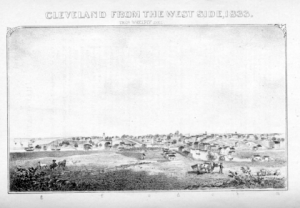
 View of CLEVELAND, FROM THE WEST SIDE, by Thomas Whelpley, 1833
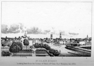 St. Clair Street, from Bank street, looking East, by Thomas Whelpley, 1833.
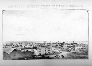 Superior Street, from the Public Square, looking West, by Thomas Whelpley, 1833.
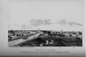 Euclid Street, Looking West, near the Public Square, by Thomas Whelpley, 1833
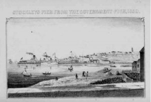 Stockley’s Pier, from the Harbor, looking East, by J. Brainard ,1850.
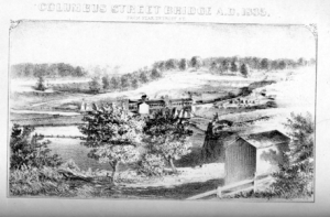 Columbus Street Bridge, from Detroit Street, 1835
More illustrations can be found in the body of this book including
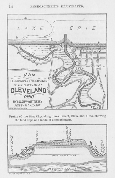
Plan of Cleveland, and Geological Profile, illustrating the encroachments of the Lake, from 1796 to 1843
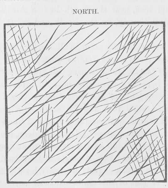
FacSimile of Ice-polished Rocks
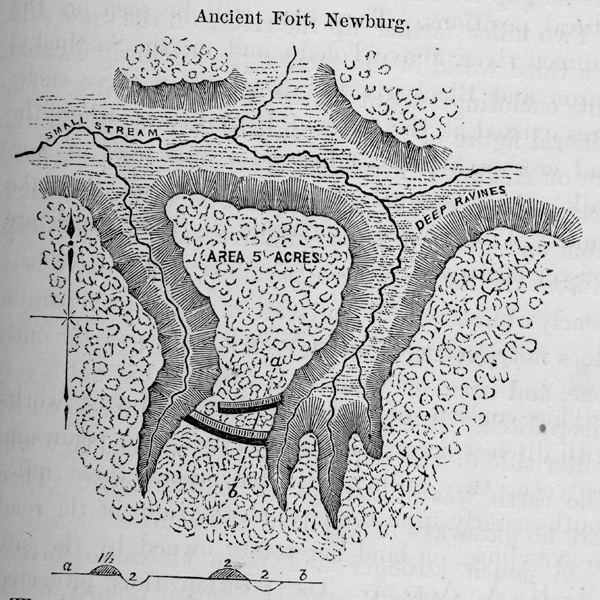
Ancient Fort, Newburg
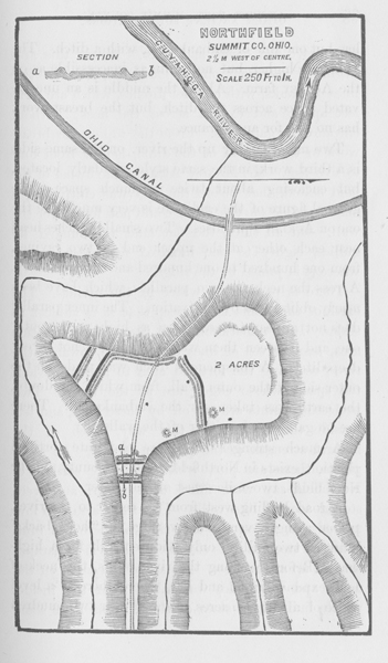
Ancient Fort, Northfield, Summit County, Ohio
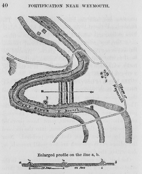
Ancient Fort, Weymouth, Medina county, Ohio
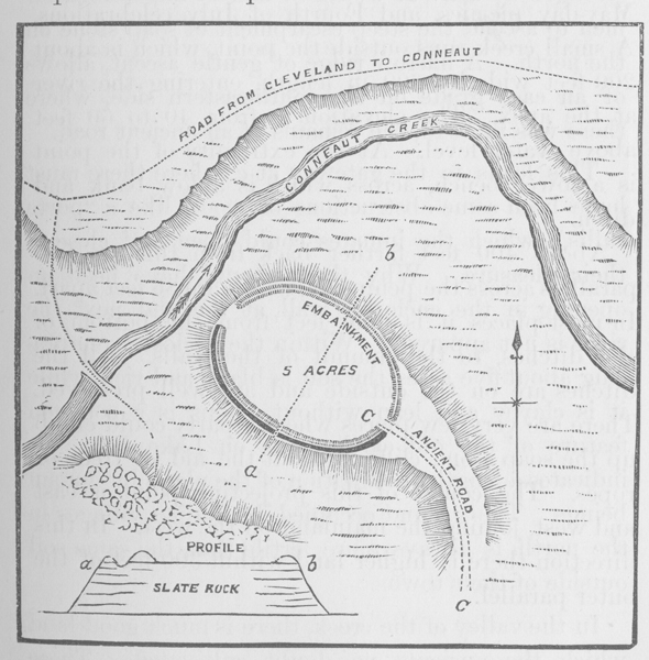
Ancient Fort, near Conneaut, Ashtabula county, Ohio
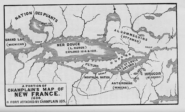
Portion of Champlain’s Map of 1634
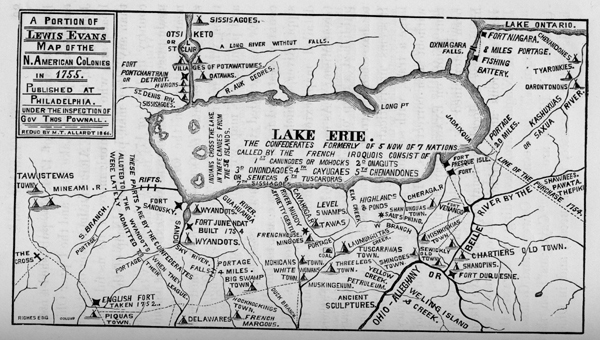
Portion of Lewis Evan’s Map of 1755
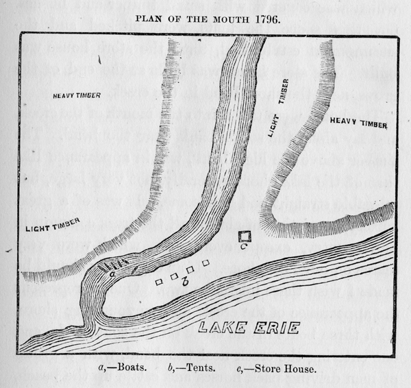
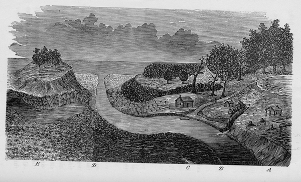
Mouth of Conneaut Creek, in 1796
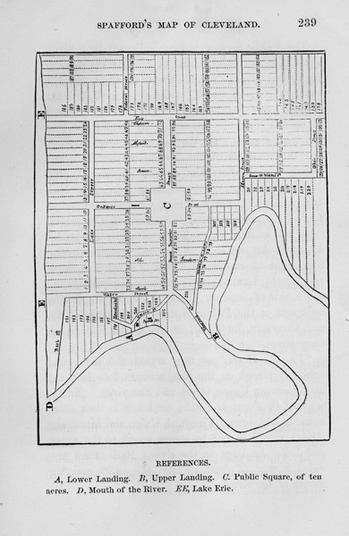
First Map of Cleveland, Oct., 1796
Cleveland under the hill, in 1800
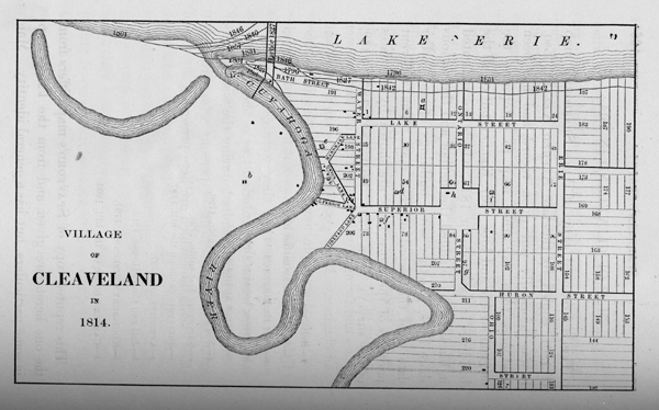
Map of Cleveland in 1814
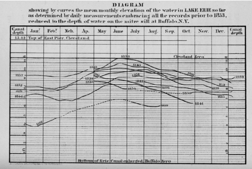
Diagram, representing the Fluctuations in Lake level
